Get your hiking boots on
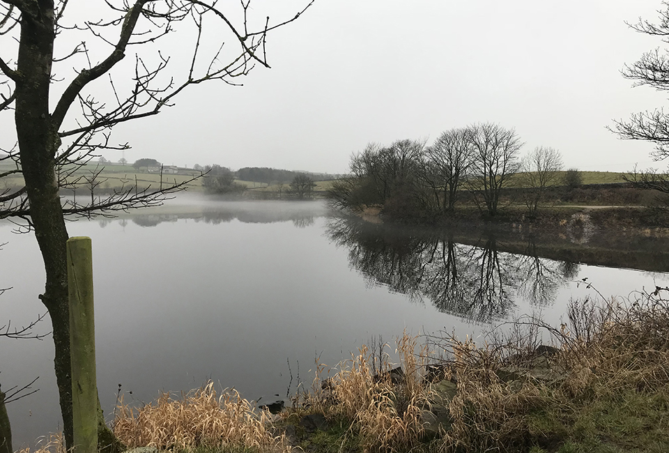
This not too strenuous route revolves around Ingbirchworth Reservoir, running next to the water’s edge and passing through small areas of woodland. The path is unsurfaced in places and can be muddy. Sturdy footwear is recommended. The walk is 1.3 miles long.
Please note, the permissive footpath will be closed for 1 week starting Monday 19th June for essential maintenance works. We apologise for the inconvenience, why not visit nearby Royd Moor or Scout Dike Reservoirs whilst Ingbirchworth is closed?
Useful Downloads
Details
Location
West of Ingbirchworth village, north of Penistone
Difficulty
2 out of 4
Route length
1.3 miles
Walking time
1 hours
Terrain & gradient
From points 1-3 along the northern edge of the walk, the path is a wide surfaced track. As the walk continues past point 3, it becomes muddy with lots of tree roots covering the path. There are no steps or stiles. Sturdy boots are recommended for this walk.
How to get there
By car
On-street parking is located near point 1 on Wellthorne Lane, S36 7GN.
From Penistone
Take the B6462 heading north for about a mile, until you reach the A629. Turn left and continue on the A629 for the next mile and a half, then turn left onto Wellthorne Lane.
From Shepley
Follow the A629 south. After about 3 miles, turn right onto Wellthorne Lane.
By public transport
There are bus stops a 5 minute walk from the start of this route, near where Wellthorne Lane meets the A629.
Visitor information
To keep everyone happy and safe, please:
- follow government guidance
- don’t swim
- take your litter home
- stick to the path
- keep your dog on a lead
- clean up after your dog
- don’t light fires or BBQs.

Make a day of it
While you're here, why not try another walk?
| Walk | Distance | Difficulty | Facilities |
|---|---|---|---|
| 1.5 miles | 2 out of 4 |
|
|
| 2 miles | 1 out of 4 |
|

