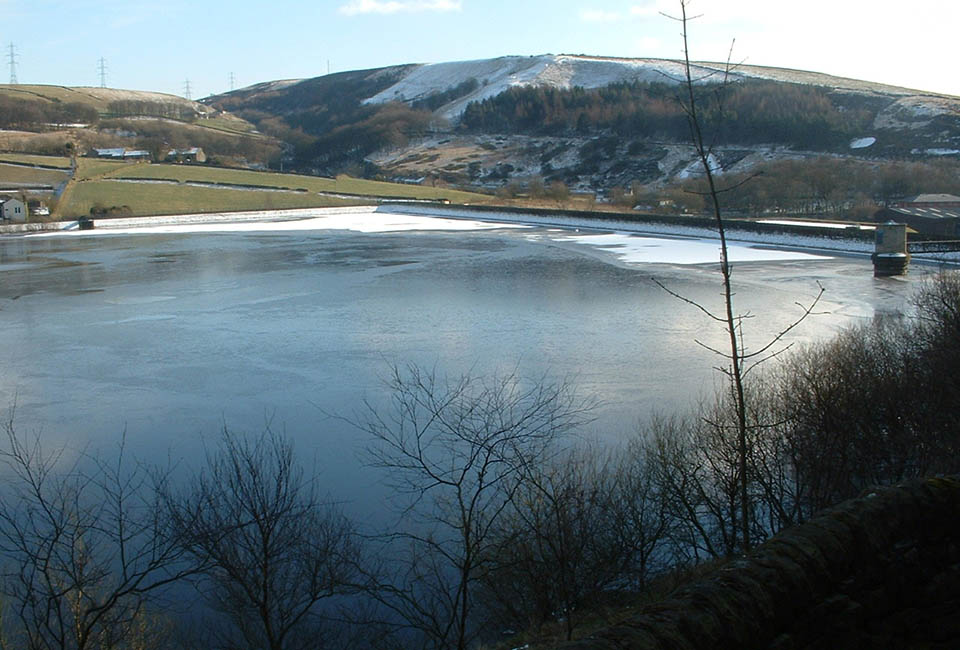
Take a stroll around Ogden
This level route runs around the edges of Ogden Reservoir, taking you near the plantation intriguingly named ‘Spice Cake Hills’ and passing over Ogden and Skirden Clough streams, the main feeders for the reservoir.
Facilities
Useful Downloads
Need an easier walk?
Great news! Our Ogden walk has wheelchair friendly gates with RADAR key locks at each end. The path is wide, well surfaced and mostly flat with gentle slopes.

Details
Location
Ogden, north of Halifax.
Difficulty
1 out of 4
Route length
1.2 miles
Walking time
1 hour
Terrain & gradient
The route closest to the reservoir has wheelchair friendly gates with RADAR key locks at each end. The path is wide, well surfaced and mostly flat with only mild gradients. Those wishing to can explore the woodland paths which can be damp and steep.
How to get there
By car
The car park (£1 parking charge) and toilets are run by Calderdale Council. The car park can be accessed from Ogden Lane just off the A629.
From Halifax
Follow the A629 North for 4 miles and turn onto Ogden Lane to find the car park.
By public transport
There is a bus stop on Halifax Road/A629 1 mile away from the start of this walk.
Visitor information
To keep everyone happy and safe, please:
- follow government guidance
- don’t swim
- take your litter home
- stick to the path
- keep your dog on a lead
- clean up after your dog
- don’t light fires or BBQs.

Looking for a more challenging walk?
If you fancy a tougher route, take on our Ogden and Ovenden Moor walk! This route has stiles, steps and muddy banks. We recommend you bring sturdy boots, warm clothing, waterproofs and extra food/drink for this adventurous walk.
| Walk | Distance | Difficulty | Facilities |
|---|---|---|---|
| 3 miles | 3 out of 4 |
|

