Footpath closed
The section of the path over the road from the car park is currently closed. Please follow the signs if you visit.
Car parking charges
We’re trialing car parking charges at this reservoir from 22 January. All funds will be invested into countryside management, biodiversity projects and our brand new Ranger Team.
Take on a challenge
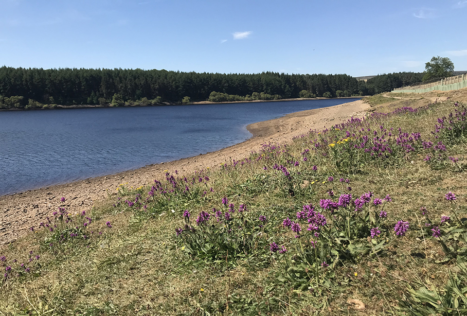
A more challenging walk, this 4.5 mile route runs from the car park at Thruscross through rough pastures and moorland alongside the edge of the reservoir. The surrounding scenery is beautiful with an array of interesting geographical features, including crags, ghylls, streams and the River Washburn.
Facilities

Useful Downloads
Parking charges
| Time | Charge |
|---|---|
| 1 hour | £1 |
| 2 hours | £2 |
| 6 hours | £3 |
| All day | £5 |
| Annual permit | £30 |
| Annual blue badge permit | Free |
Please pay using our on-site ticket machines (card only), RingGo app or apply for a permit online.
Details
Location
North of Blubberhouses, not far from the A59 Harrogate/Skipton Road.
Difficulty
3 out of 4
Route length
4.5 miles
Walking time
3 hours
Terrain & gradient
The route features stiles, steps and steep muddy banks riddled with tree roots. We recommend you bring sturdy boots, warm clothing, waterproofs and extra food/drink for this adventurous walk.
How to get there
By car
You can use our car park at the starting point of this walking route, which is on Reservoir Road (HG3 4BB) next to the dam wall. Please note, there is a 1.8 metre height barrier.
From Harrogate
Follow the A59 Harrogate/ Skipton road towards Skipton for 8 miles and turn right shortly after a metal roadside barrier onto Hall Lane signposted for West End. Follow Hall Lane for another 0.5 miles and turn right onto Reservoir Road. Follow the road for 100 metres to find the car park on your right.
By public transport
DalesBus services 820 and 821 run to Blubberhouses every hour on summer Sundays and bank holidays from Otley and links from Keighley, Shipley, and Guiseley.
Visitor information
To keep everyone happy and safe, please:
- follow government guidance
- don’t swim
- take your litter home
- stick to the path
- keep your dog on a lead
- clean up after your dog
- don’t light fires or BBQs.

Make a day of it
While you're here, why not try another walk?
| Walk | Distance | Difficulty | Facilities |
|---|---|---|---|
| 4 miles | 1 out of 4 |
|
|
| 10 miles | 3 out of 4 |
|
|
| 6.2 miles | 3 out of 4 |
|
|
| 3 miles | 1 out of 4 |
|
|
| 4.25 miles | 4 out of 4 |
|
More things to do near Harrogate
Whether you fancy a gentle stroll around a reservoir, a challenging hike, a bike ride with the family, a bit of pony trekking or an afternoon of fishing, there's plenty to do around Harrogate.


